Drone Intelligence as a Managed Service
Aerial intelligence without building your own drone operation.
Hybrius coordinates qualified drone operators, mission planning, aerial data capture, analysis, and reporting to deliver decision-ready intelligence when and where organizations need it.
From mission planning to intelligence delivery, Hybrius manages the process around the business outcome you need.
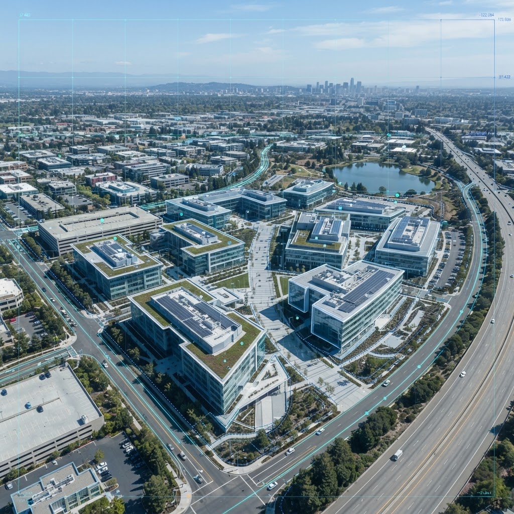
Drone technology is easy to buy. Building a drone operation isn't.
Organizations increasingly need aerial visibility into facilities, assets, construction sites, infrastructure, and large operating environments. But obtaining that intelligence can require qualified operators, mission planning, aviation compliance, specialized equipment, data processing, scheduling, and reporting.
Hybrius provides a managed approach so organizations can access drone-based intelligence without building and operating the entire capability themselves.
WHAT IT TAKES TO DO IT YOURSELF
From mission requirement to decision-ready intelligence.
Customer identifies the site, asset, operational challenge, or information requirement.
Hybrius defines mission requirements and coordinates appropriately qualified drone operators and resources.
The mission is executed and required aerial imagery, video, sensor, or geospatial data is collected.
Captured information is organized, processed, reviewed, and converted into useful operational intelligence.
The customer receives agreed deliverables such as reports, imagery, maps, measurements, findings, dashboards, or other decision-ready outputs.
Four ways organizations can use drone-based intelligence.
Infrastructure & Asset Inspection
Use aerial imaging and data capture to inspect facilities, rooftops, utilities, equipment, infrastructure, and other physical assets while reducing reliance on costly or difficult manual inspection methods.
Construction & Site Monitoring
Provide recurring aerial visibility into construction sites, facilities, properties, and large operational environments to document progress, identify changes, and improve operational awareness.
Mapping & Aerial Intelligence
Capture aerial imagery and geospatial data for mapping, site documentation, measurements, change detection, and other intelligence requirements. Transform collected data into useful reports and decision-ready information.
Security & Situational Awareness
Support authorized facility, event, site, and operational monitoring with aerial observation that provides greater visibility across large or difficult-to-monitor environments.
Drone intelligence for physical-world operations.
Construction
- Progress documentation
- Site visibility
- Change monitoring
- Measurements
- Project reporting
Commercial Real Estate
- Property documentation
- Roof inspection
- Exterior condition review
- Facility visibility
Energy & Utilities
- Infrastructure inspection
- Asset condition monitoring
- Remote-area visibility
- Documentation
Manufacturing & Industrial
- Facility inspection
- Asset monitoring
- Site documentation
- Operational visibility
Insurance & Risk
- Property documentation
- Damage assessment support
- Site condition evidence
- Aerial records
Public & Civil Infrastructure
- Roads
- Bridges
- Facilities
- Public assets
- Large-area documentation
Presented as use cases the managed service can support, shaped around each customer's specific requirement.
One partner. From mission to intelligence.
Hybrius manages the operational layer between the customer's business requirement and the final intelligence deliverable. Instead of simply providing aerial imagery, the goal is to deliver information that can be used in operational decisions, reporting, workflows, and enterprise systems.
Where appropriate, drone-derived intelligence can be incorporated into dashboards, workflow systems, asset-management platforms, reporting tools, and other enterprise applications.
The mission determines the technology.
Different missions may require different aircraft, sensors, software, operator qualifications, and data-processing tools. Hybrius coordinates the appropriate resources around the customer's requirement rather than forcing every engagement into a single drone platform or technology stack.
Aircraft
Mission-appropriate aerial platforms
Sensors
Imaging, mapping, and mission-specific data collection
Software
Processing, mapping, analytics, and reporting tools
Operators
Qualified professionals selected for mission requirements
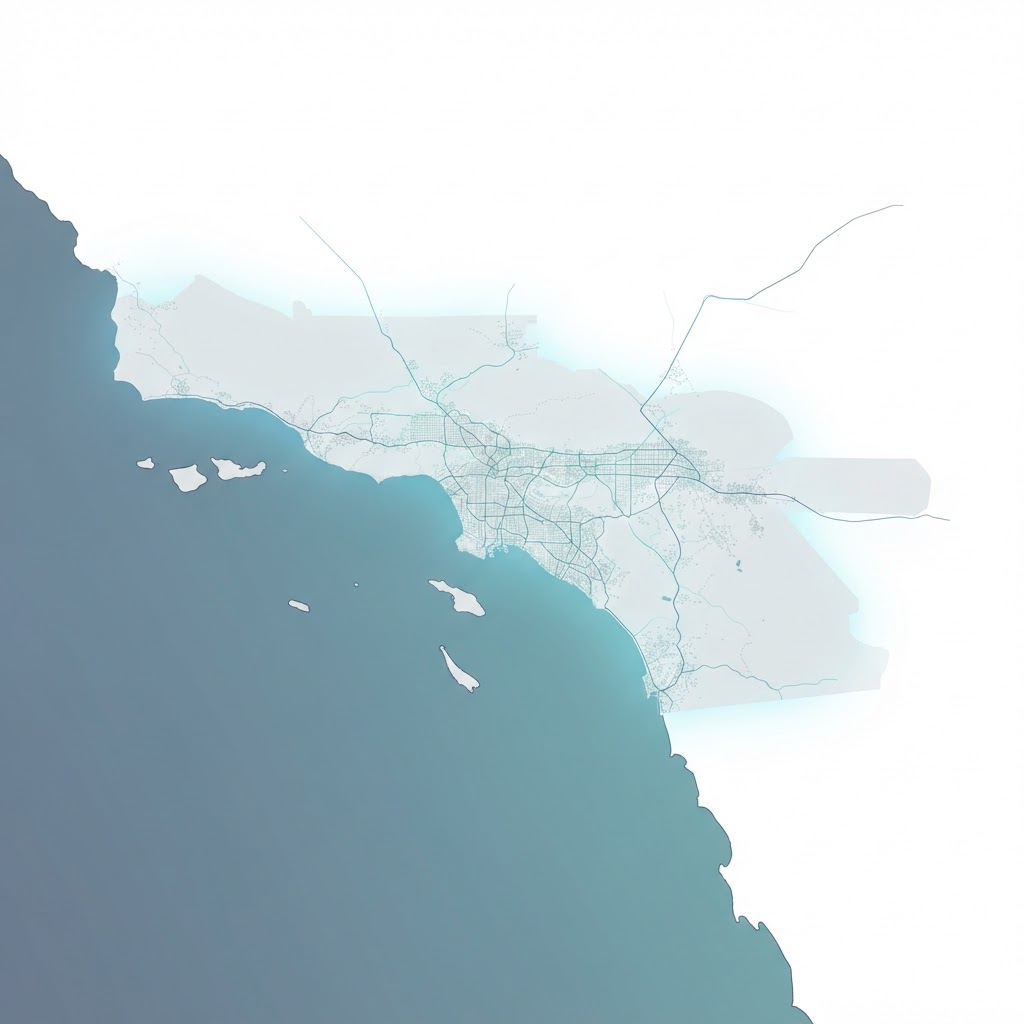
Starting in Southern California. Built to scale.
Hybrius is developing its managed drone intelligence capability initially around Southern California, with the operating model designed to expand through qualified operator relationships as customer requirements grow.
What do you need to see?
Tell us the location, asset, site, or operational challenge. Hybrius can help determine whether drone-based intelligence is an effective way to obtain the information you need.
Start with the business question. We will help determine the mission.